01 · SEARCH
Pick a destination
Search nearby places, choose a saved destination, or start from a location you set yourself.
Penguin compares routes by travel time and exposure to known roadside cameras—then gets you there with spoken guidance, camera-ahead alerts, and CarPlay.
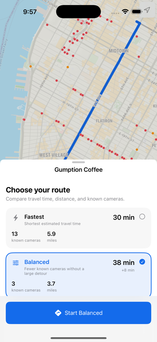
Penguin adds one missing piece to ordinary navigation: known camera exposure. You decide whether a different route is worth the extra time.
Search nearby places, choose a saved destination, or start from a location you set yourself.
Review travel time, distance, and known camera counts across available routes before you commit.
Get spoken maneuvers, automatic rerouting, camera-ahead alerts, and a focused CarPlay experience.
The detail is there when you need to choose. Once you start moving, Penguin gets out of your way.
Search places nearby and keep recent destinations close.
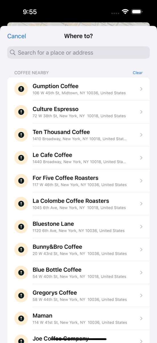
Pick the balance of time and known cameras that fits your drive.
Follow clear directions and receive camera-ahead alerts along your route.
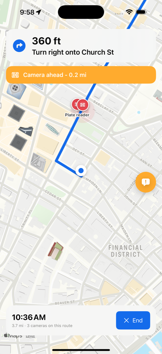
Keep maneuvers, travel estimates, and camera-ahead alerts within easy reach—without handling your phone while driving.
Penguin MapsPenguin turns available camera data into a clear, useful comparison—so you can weigh privacy alongside time and distance.
See the number of known cameras near each available route.
Know exactly how many minutes a lower-exposure option adds.
Review camera type, direction, source, and confidence when available.
Understand the freshness and availability of data in your area.
Penguin works without an account, advertising profile, or cloud trip-history database.
No email, login, identity profile, or recovery flow required.
Destinations, favorites, and saved trips remain on your device.
Penguin does not build a behavioral profile to sell ads.
Choose whether to save trips and delete local history whenever you want.
Private route comparison, spoken navigation, camera-ahead alerts, and CarPlay—without an account.
Meet Penguin ↑